Since 1998, the Colby Hill Ecological Project (CHEP) has collected ecological data on an area of private land in Lincoln and Bristol, Vermont, owned for some 50 years by Lester and Monique Anderson, who left it in Vermont Family Forests’ care when they passed. Much of CHEP’s long-term monitoring focuses on wildlife—forest birds, small mammals, reptiles and amphibians, and large mammal tracking, as well as varied short-term studies on terrestrial invertebrates, grassland birds, butterflies and odonata (dragonflies and damselflies).

With the exception of initial landscape and habitat assessments in 1998 and 2000, we have very limited information about the forest vegetation supporting that wildlife community, and none on how it changes over time. This summer, we took a big step to close that gap.
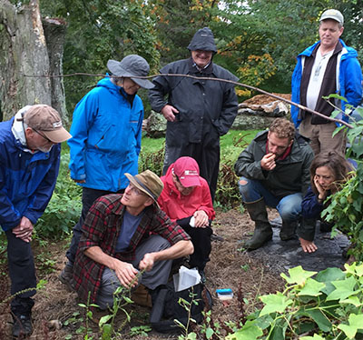
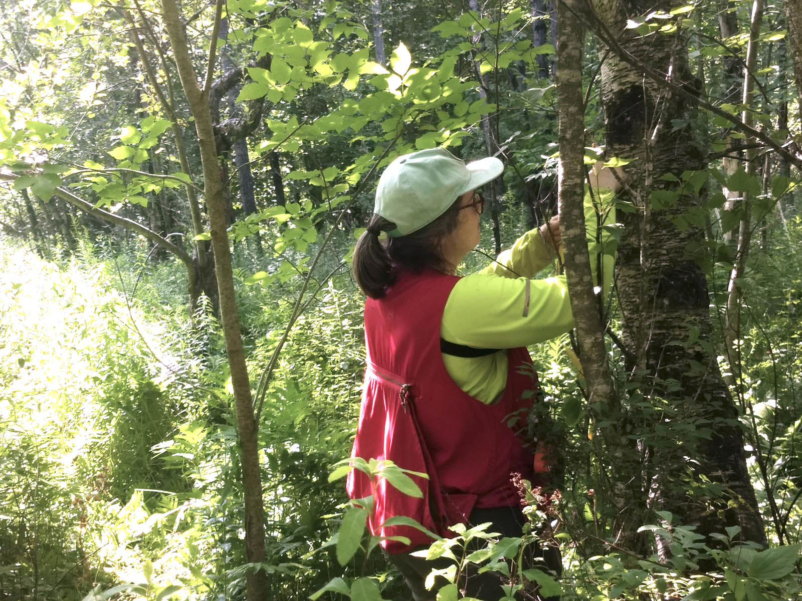
During the month of July, VFF Conservation Forester Kathleen Stutzman, with help from Paul Thurber, established long-term forest monitoring plots in three forests owned by Vermont Family Forests. She created the plots using the protocol of the Forest Service Forest Inventory and Analysis (FIA) Program, so that data will be comparable to those gathered in FIA sites around the country and can give us a sense of how our particular forested place fits into the bigger story of forests in the US.
Here in the northeastern US, the Forest Ecosystem Monitoring Cooperative (FEMC) collects much of this long-term forest data. FEMC has been establishing plots and collecting data since the 1990s, and has linked up with historic plots when possible. Once our plots are established, VFF’s data will feed into this databank.
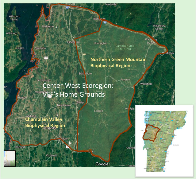
Getting the long-term forest monitoring ball rolling took a great deal of preparation. First Callie Brynn, VFF Mapping Specialist, with direction from Kathleen, located good sites on VFF lands—at least 200 feet from property boundaries, trails, and roads. She identified three sites—one on VFF’s Abraham’s Knees, one on VFF’s Anderson Fred Pierce place, and one at VFF’s Anderson Wells Farm—for this year’s work. Next year, Kathleen hopes to establish a second plot at Fred Pierce, and up to four plots on VFF’s largest block of wild forest—the Anderson Guthrie-Bancroft land.
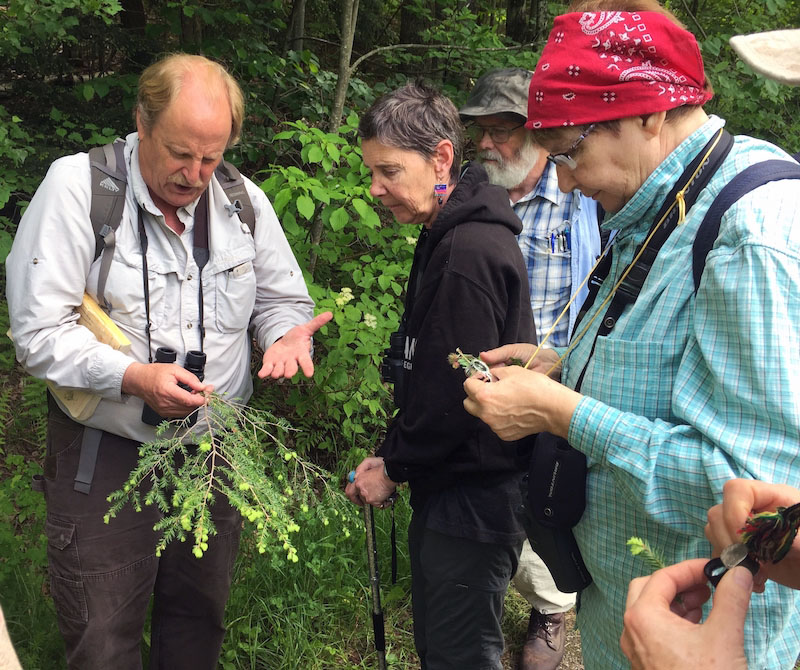
Next, Kathleen and Paul set up the permanent plots, which are composed of four subplots, each sub-plot with a 24-foot radius. Following FEMC protocol, they collected data on all trees greater than five inches in diameter at breast height (DBH) within the plot, recording species, diameter, height, crown class, and indicators of stress (like fine twig dieback, foliage transparency, defoliation, and discoloration). Again, following with FEMC protocol, data on seedling and sapling presence was recorded in a micro-plot, with a radius of 6.8 feet, in each subplot. We’ll continue to collect this FEMC data set every year.


Once every five years, following the work of the Long-term Ecosystem Monitoring Project (LEMP), coordinated by the Green Mountain National Forest, we’ll gather a more intensive data set, including observations on coarse woody debris and sub-plot wide plant species diversity and abundance (including trees, shrubs, and herbaceous plants).
Soil scientist Don Ross will add his expertise to the project, working with VFF to establish soil study sites within CHEP’s forest plots, as he has done on other LEMP sites. Among other things, the soil study will measure carbon storage and how it is changing over time. Next year happens to be the every-five-year data collection year for LEMP, so we plan to begin the soil survey work then.
Why is this information helpful? Kathleen explains that, as we respond to the impacts of the current climate crisis, it will be important to understand species migration and changes in habitat suitability. By paying close attention to changes within these forest plots—which are fairly common mid-elevation forest types found throughout the Center-West Ecoregion and across Vermont—we’ll learn about how forest species respond to climate change, how hydrology and soil carbon storage change, and how invasive species figure in. Knowing this may give us clues as to conservation practices that can contribute to forest health.
Another important piece of what we’ll learn relates to the fact that the Anderson lands (Fred Pierce, Wells Farm, and Guthrie-Bancroft) are conserved as “Forever Wild” through the Northeast Wilderness Trust. Routinely measuring and studying these forests as they transition from second- or third-growth forests to old growth forests can provide a wealth of information about how forests recover and develop complexity and the ebb and flow of biodiversity as these changes unfold.