When Vermont Family Forests purchased the 53-acre piece of land on the side of Mount Abraham known as “Abraham’s Knees,” the land came with an existing access trail. The old logging road heads straight up the mountainside, with steep grades and significant erosion in places.
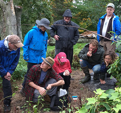
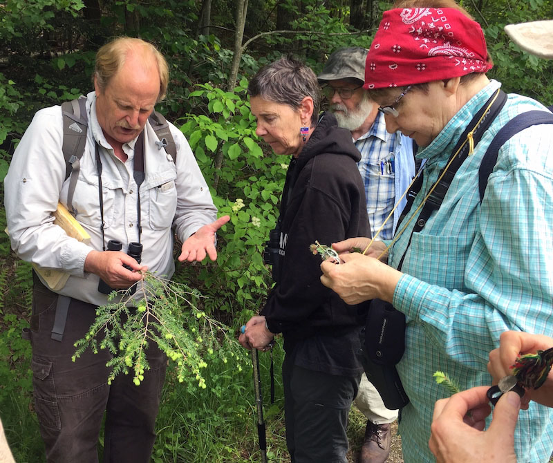
One of the big reasons we purchased Abraham’s Knees was to have a piece of land where we could walk the talk of VFF’s organic forest health conservation practices—a place to explore mutually beneficial relationship with the forest through careful, contemplative, hands-on work with the land. The old access path offered a great place to start that process.
The access trail issues Abraham’s Knees are similar to those that many forest landowners face. Often a piece of forestland has existing access roads that have been in place for many decades, and landowners use them because they’re there. But more times than not, they’re too steep, too close to streams, and poorly drained—simply put, they’re in the wrong place.
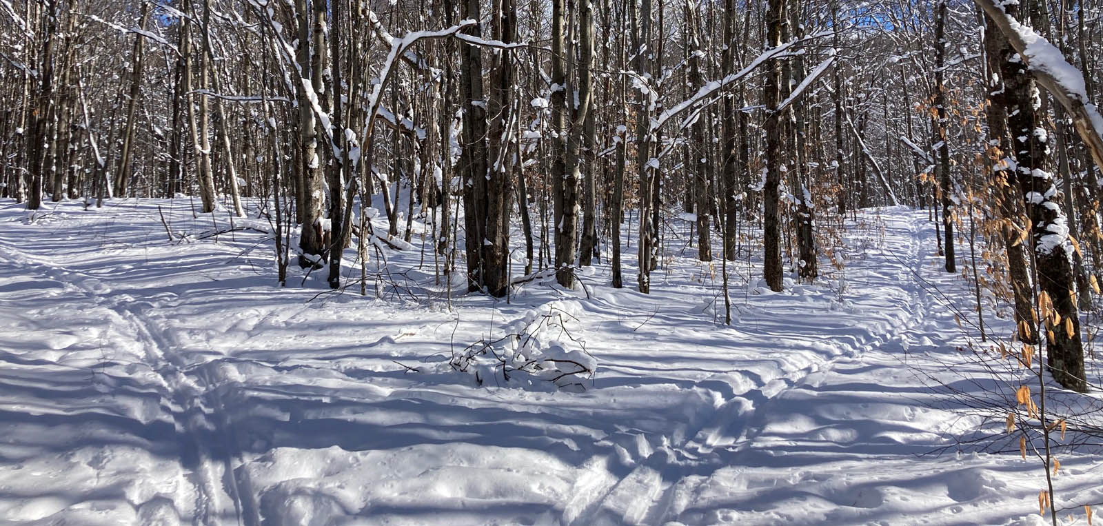
It’s more important than ever to design and maintain trails and paths so they can withstand the higher intensity storms that we’re seeing with climate change. Our aim was to lay out the new trail across the land’s contours, keeping the average trail grade below 7%, rather than running perpendicular to contour, as was the case with much of the old access road.

This more gradual ascent, of course, means the new trail is a lot longer than the old access road—twice the distance, in fact. We have discovered, however, that even in steep terrain, a gently sloped trail, if kept narrow, can provide access to the whole forest while occupying no more than 5% of the forest surface area.
We built the new trail by hand, with a small chainsaw, Pulaski, peavey, and long-handled loppers. Our goal was to minimize disturbance during construction and minimize the need for maintenance in the long run. This low-tech trail building process afforded intimate connection with the land. Along the way, for example, we encountered a hummock that we decided to level out with the Pulaski. In the process, we encountered beautiful, deep purple-red cobblestones of Monkton quartzite, carried here by glaciation, as well as deeply buried charcoal, perhaps a remnant from past clearing.
Maybe one day, we’ll widen this walking and ski trail to create an access path for retrieving firewood, sawlogs, or maple sap. Until then, it’s a footpath for all forest community members, including the bobcat whose prints we encountered one snow-dusted December morning.
During the process of creating the trail, we joked about how, even with the gentle grade, a few of the turns would separate the wheat from the chaff, in terms of skiing abilities. That’s why, with a grin, we’re calling it the Threshing Trail.