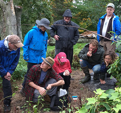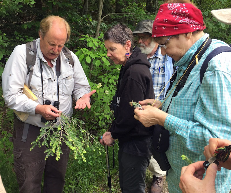
Vermont Family Forests is all about hands-on connection with the forest community. Sometimes, we use simple, time-honored hand tools to make that connection. Sometimes we use the latest technology, as is the case with our current forest mapping and inventory system.
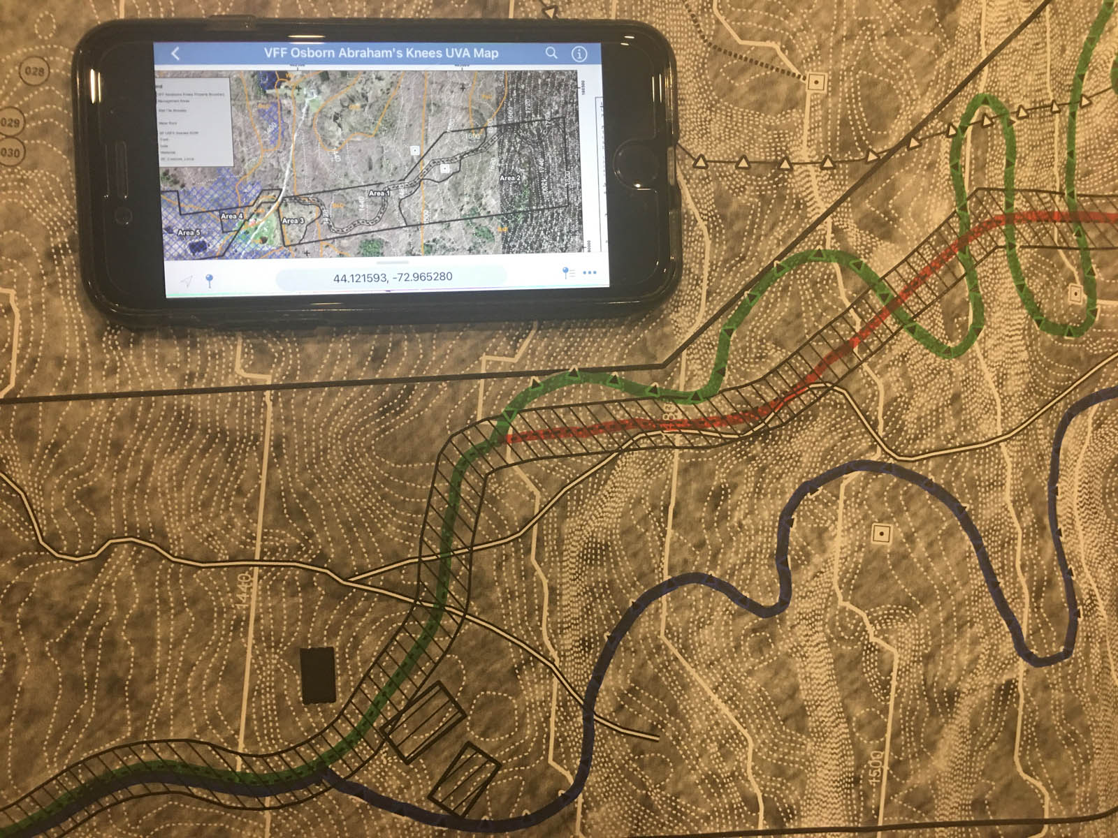
Anyone familiar with the Harry Potter books knows the Marauders’ Map and remembers how the map magically reveals, via little moving dots, the location of whoever is within the Hogwarts school grounds. Maybe that’s part of why the mapping app, Avenza, is so darn fun, besides being very helpful and easy to use.
It all started back in 2018, when the Vermont Department of Forests, Parks, and Recreation offered a workshop to introduce foresters and loggers to Avenza, which they considered an invaluable tool for working in the forest. At the time, Vermont Family Forests’ conservation foresters, David Brynn and Kathleen Stutzman, along with our mapping specialist, Callie Brynn, all participated in the workshop.
Ever since then, Avenza has been at the core of our mapping work. Callie creates our maps with ArcMap and saves the map as an Avenza-compatible pdf. With the Avenza app loaded onto their smartphones, our foresters upload the pdf maps of the forests they’re working in. When the map displays on Avenza, a bright blue dot appears wherever the person holding the smartphone is standing within the map area. As you move through the forest, your blue dot moves across the map in real time, guided by the phone’s GPS. You can track your route, drop and label pins at particular sites, and more.
We use the Avenza mapping system on our own lands to locate boundaries, mark important land features, locate sites for additional erosion control to improve an existing access network, and so on. We use it to carry out careful forest inventories on an exact point sampling grid. We’ve used it to help us assess easement compliance on our conserved lands, to map new and existing trails, and to simply orient ourselves in the woods.
It’s not a replacement for a map and compass and pacing of distances, but it’s an effective and useful addition.

One of the things we’re really excited about is its utility for forest landowners and community members in their home or community forests, for conservation work or for simply getting to know the forest better.
The Avenza app is free (you can have up to 3 maps loaded on the app free of charge. Beyond that, you need to subscribe). If Vermont Family Forests created your forest conservation plan and map in recent years, then the pdf version of your map will be compatible with Avenza. We can send you that version if you don’t already have it.
Why use this mapping tool? Now more than ever, we need to be measuring and monitoring carefully and accurately to keep an eye on forest health in this rapidly changing climate. Now more than ever, we need to connect deeply with our home grounds.
Technology can, and often does, distance us from the land. With this mapping tool, we think we’ve found an instance where it can serve deeper connection.