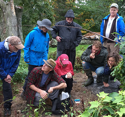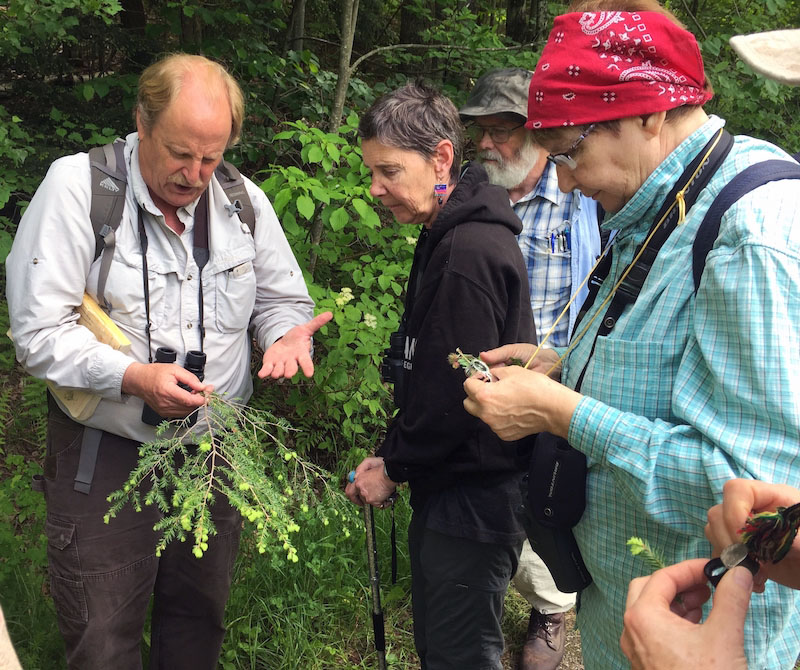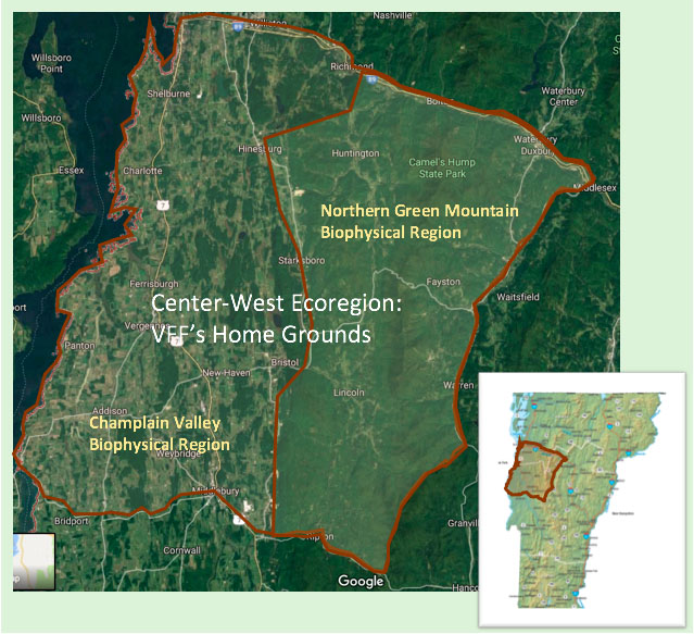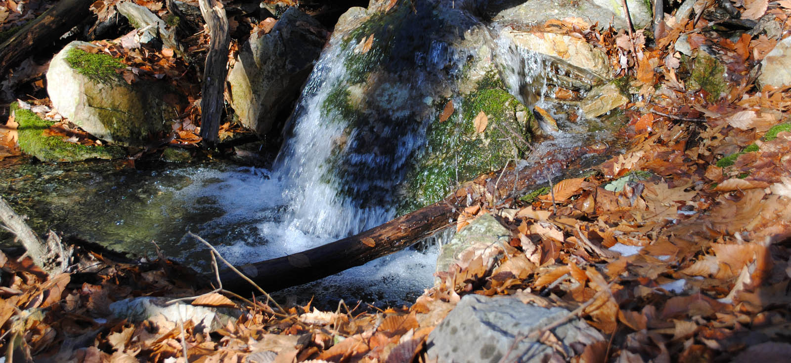
Just as a blood test sheds light on your body’s health, so water quality monitoring sheds light on the health of the land through which that water flows. This past summer, Vermont Family Forests teamed with the Addison County River Watch Collaborative (ACRWC) to monitor the water quality of two streams in whose watersheds Vermont Family Forests owns land—Isham Brook and Beaver Meadow Brook in Lincoln.
In June, July, August, and September, ACRWC volunteers sampled each brook near its confluence with the New Haven River. By sampling at the mouth of the stream, the water samples reflect land use practices across the whole watershed. The samples were analyzed by Endyne Laboratories for E. coli, chloride (often from road salt), nitrate, total phosphorus, and turbidity (an indicator of soil erosion).
This season’s data show very good water quality for the most part (see the table below)—what we’d expect from streams that flow through healthy, intact forests where soil erosion from access roads and other disturbances is minimal.

An important caveat is that none of the water samples in this first round of testing were taken during storm events, which is when you’re likely to see more water quality issues, particularly if access roads are not adequately designed and maintained to slow, spread, and sink the flow of runoff—the key to keeping soil and pollutants out of waterways. Next summer, ACRWC will, in addition to the four regular site visits, conduct sampling during rainstorms to get a better sense of the stability of soils in the watershed.
The Isham Brook watershed covers about 1,500 acres, and the Beaver Meadow Brook watershed about 6,800 acres. Both feed into the 74,500-acre New Haven River watershed, which empties into Lake Champlain. In the Isham Brook Watershed, Vermont Family Forests owns about 300 acres of land formerly owned by Lester and Monique Anderson. Since 1998, a team of researchers has gathered data on these lands about the diversity and abundance of birds, amphibians, reptiles, mammals, moths and butterflies, and surface invertebrates, as well as wildlife habitat, historical geography, and natural communities.
On-going water quality monitoring will add information about the health of the lands that support these diverse natural communities. The forests on the Anderson lands are conserved as forever-wild. Healthy, intact, wild forests produce top-quality water. With careful conservation practices in place, forests in which people are actively working and recreating—creating and actively using access paths, cutting firewood and sawlogs, collecting maple sap, and so on—can also yield clear, clean, healthy water. Conservation practices are the key, which is why we created the Organic Forest Ecosystem Conservation Checklist, and why that checklist is at the heart of the forest management plans we create for family forest landowners.
These practices pay attention to the width and condition of riparian buffers, the condition of access trails, and the complexity of forest structure—including plenty of large downed wood and an intact, rain-absorbing humus layer.
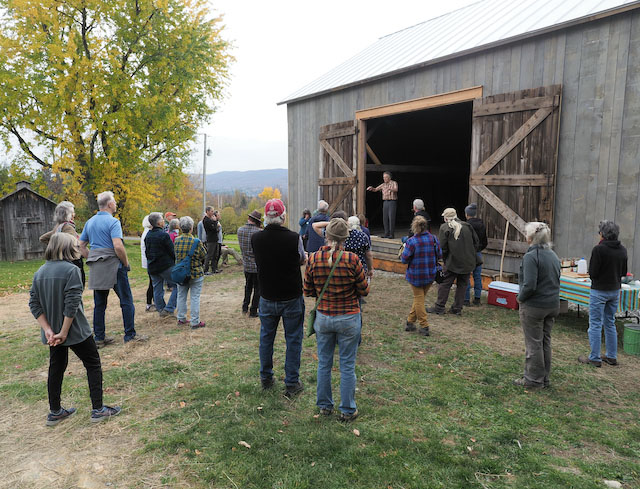
Within the Beaver Meadow Brook watershed, VFF owns a 54-acre piece of land we call Abraham’s Knees. On this recently acquired land, we aim to walk the talk of mutually beneficial relationship with the forest community. This past summer, a crew from the Vermont Youth Conservation Corps spent a week installing broad-based dips and waterbars on the old, steep access road that runs the length of that land, up the flanks of Mount Abraham. In the fall, we held our Game of Logging chainsaw training workshops there. The trees felled during those workshops will add downed log structure and habitat to the forest floor and, like the waterbars, will help slow, spread, and sink the flow of runoff during storm events.

Water quality data for Beaver Meadow Brook and Isham Brook, collected by ACRWC volunteers and analyzed by Endyne Labratories, summer 2021.
